SUMMARY
Research on the optimization of data collection, processing, and analysis of geospatial information obtained by sensors with V3 characteristics (velocity, volume, variety) is carried out by the geodetic-geoinformation laboratory. These sensors include digital cameras with thermal spectrum, hyperspectral sensors, total stations, GNSS devices, and 3D laser scanners. Along with developing and testing models for geospatial analysis, the laboratory also adapts and produces software tools (such as GNSS measurement processing algorithms, geostatistical analyses, interpolation techniques, etc.) for the processing and analysis of geospatial data. Other FGAG laboratories as well as other research and commercial organizations in the Republic of Croatia use precise spatial data and models.
MORE SIGNIFICANT EQUIPMENT
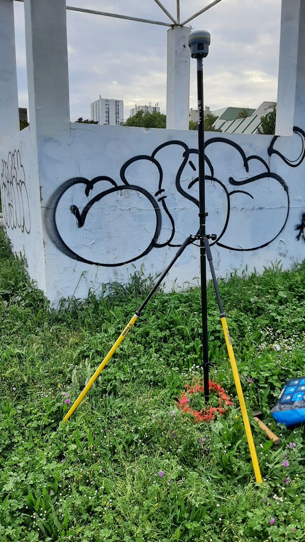
- high-precision GNSS devices
- high-precision Total Stations
- high-precision Digital Levels
- Unmanned Aerial Aehicles
- Depth Gauge with equipment
- Laser 3D Scanners
- SLR Digital Camera
- Software ERDAS for processing remote sensing data
PROFESSIONAL PROJECTS
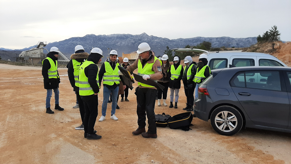
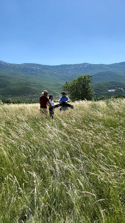
- Interreg project “CHANGE WE CARE” (topographical survey for the creating the Climate Change Adaptation Plan for the Jadro River area)
- Monitoring RTC Križine under construction
- 3D laser scanning and creation of a mold model for Salona YACTHINH
RESEARCH PROJECTS
"Geodetic research in the environment", Institutional ZIU project, 2021.-2024.
TEACHING ACTIVITY
- data collection, processing, and analysis of geospatial information in the courses at the Undergraduate Study of Geodesy and geoinformatics
- research articles on doctorate studies