21.ožujka 2024
RESCOP – Završna radionica projekta
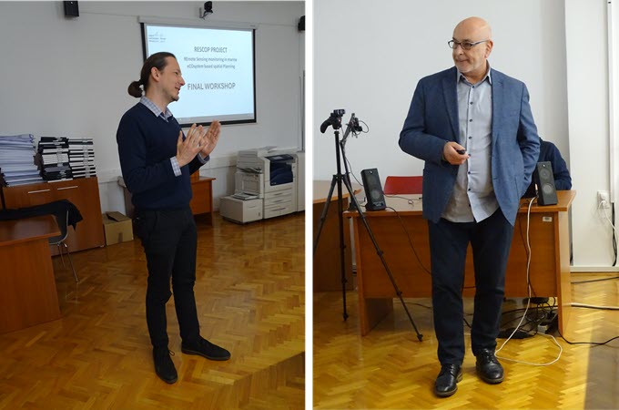
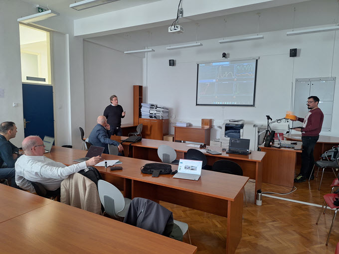
U ponedjeljak i utorak, 18. i 19. ožujka 2024., na Fakultetu građevinarstva, arhitekture i geodezije održana je dvodnevna završna radionica projekta RESCOP - praćenje morskih ekosustava pomoću daljinske detekcije u prostornom planiranju (REmote Sensing monitoring in marine eCOsystem based spatial Planning).
Radionica je na prigodan način obilježila godinu dana suradnje između Fakulteta građevinarstva, arhitekture i geodezije Sveučilišta u Splitu (FGAG) i međunarodnog instituta sa sjedištem u Norveškoj – Nansen Environmental and Remote Sensing Center (NERSC), u sklopu koje su obavljene različite aktivnosti razmjene znanja i iskustava. Suradnja je uključivala pilot-studiju analize korištenja bespilotnih letjelica na ušću rijeke Jadro u Splitu, te niz online seminara održanih od strane pripadnika FGAG-a i NERSC-a. Tijekom studijske posjete NERSC-u u Bergenu, Norveška, predstavnici FGAG-a i Sveučilišta u Splitu imali su priliku učiti o primjeni satelitskih opažanja za planiranje i upravljanje morima i priobaljem.
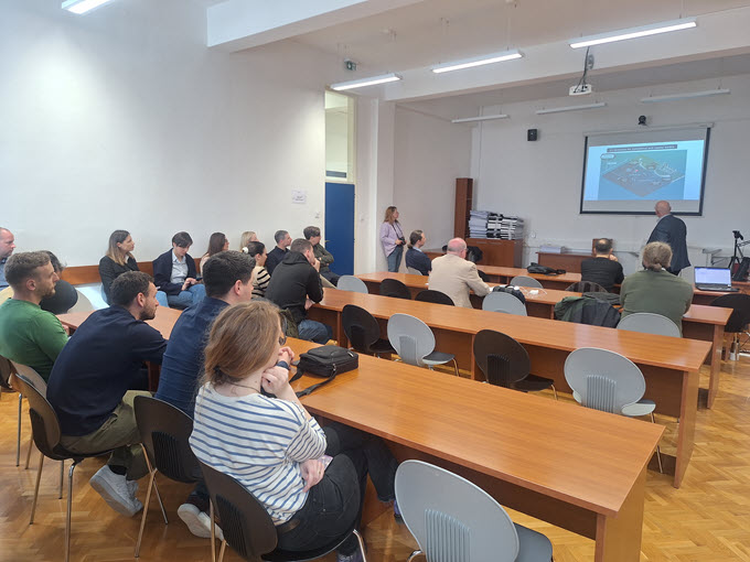
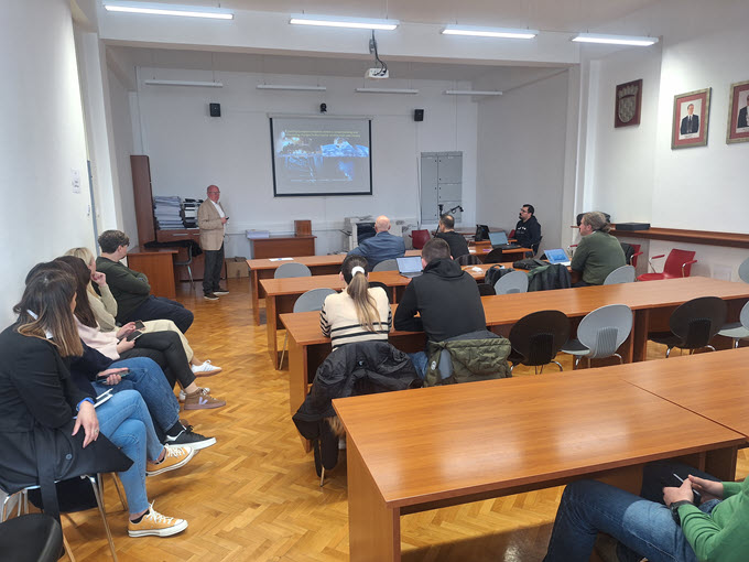
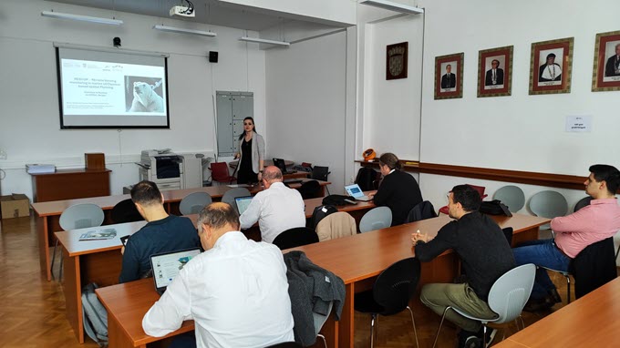
Na završnoj radionici, predavanja za zainteresirane vanjske dionike održana su u jutarnjim satima, nakon čega je uslijedio prigodni domjenak, nakon kojeg je uži tim samog projekta imao radne sastanke.
Radionicu je u ponedjeljak ujutro otvorio izv. prof. dr. sc. Neno Torić, dekan Fakulteta građevinarstva, arhitekture i geodezije u Splitu. Nakon toga su kroz dva dana uslijedile prezentacije:
- FCEAG environmental monitoring activities contributing MSFD implementation in Croatia, Roko Andričević (FGAG).
- Norwegian ocean and coastal monitoring contributing to Marine Strategy Framework Directive, Lasse Pettersson (NERSC).
- Application of HF radar system in monitoring of local sea currents, Vladimir Divić (FGAG).
- Cross sector management plans of Norwegian seas, Mette Skern-Mauritzen (Institute of Marine Research, Norway).
- RESCOP joint activities at NERSC, Bergen in Norway, Morena Galešić Divić (FGAG).
- RESCOP joint activities at Pilot Study Kaštela Bay in Croatia, Antonio Bonaduce (NERSC).
- Integration of multi-parameter and multi-modal systems as a tool for maritime spatial planning in estuarine area, Mak Kišević (SAFEGE-SUEZ).
- Coastal waters environmental applications and classification based on Copernicus Marine Services, Lasse Petterson (NERSC).
Završna radionica omogućila je interaktivan i produktivan način za skupni prikaz i diskusiju svih ostvarenih rezultata uz istovremeno umrežavanje sa zainteresiranim dionicima.
******************************************************
On Monday and Tuesday, March 18th and 19th, 2024, a two-day final workshop of the RESCOP project - Monitoring Marine Ecosystems Using Remote Sensing in Spatial Planning was held at the Faculty of Civil Engineering, Architecture, and Geodesy.
The workshop marked in a fitting manner one year of collaboration between the Faculty of Civil Engineering, Architecture, and Geodesy, University of Split (FCEAG), and the international institute based in Norway - the Nansen Environmental and Remote Sensing Center (NERSC), during which various activities of knowledge and experience exchange were conducted. The collaboration included a pilot study analyzing the use of unmanned aerial vehicles at the mouth of the Jadro River in Split, a series of online seminars held by members of FCEAG and NERSC. During a study visit to NERSC in Bergen, Norway, representatives from FCEAG and the University of Split had the opportunity to learn from experts in the application of satellite observations for marine and coastal planning and management.
At the final workshop, lectures for interested external stakeholders were held in the morning, followed by a reception, after which project members held working meetings.
The workshop was opened on Monday morning by Assoc. Prof. Dr. Neno Torić, Dean of the Faculty of Civil Engineering, Architecture, and Geodesy in Split. Subsequently, presentations were given over the course of two days:
- FCEAG environmental monitoring activities contributing MSFD implementation in Croatia, Roko Andričević (FCEAG).
- Norwegian ocean and coastal monitoring contributing to Marine Strategy Framework Directive, Lasse Pettersson (NERSC).
- Application of HF radar system in monitoring of local sea currents, Vladimir Divić (FCEAG).
- Cross sector management plans of Norwegian seas, Mette Skern-Mauritzen (Institute of Marine Research, Norway).
- RESCOP joint activities at NERSC, Bergen in Norway, Morena Galešić Divić (FCEAG).
- RESCOP joint activities at Pilot Study Kaštela Bay in Croatia, Antonio Bonaduce (NERSC).
- Integration of multi-parameter and multi-modal systems as a tool for maritime spatial planning in estuarine area, Mak Kišević (SAFEGE-SUEZ).
- Coastal waters environmental applications and classification based on Copernicus Marine Services, Lasse Petterson (NERSC).
The final workshop provided an interactive and productive way to collectively present and discuss all achieved results while simultaneously networking with interested stakeholders.
